Changsong County (Ch’angsŏng-gun)
Changsŏng County is a kun, or county, in northern North Phyŏngan province, North Korea. It is bordered by Pyŏktong to the east, Tongchang and Taegwan to the south, Sakchu to the west; to the north, it faces China across the Yalu (Amrok) River.
Changsŏng appears as "Changseong" in South Korea's Revised Romanization and as Changcheng in Chinese records, as during its occupation by Mao Wenlong's forces during the Manchu conquest of China.
Changsŏng appears as "Changseong" in South Korea's Revised Romanization and as Changcheng in Chinese records, as during its occupation by Mao Wenlong's forces during the Manchu conquest of China.
Map - Changsong County (Ch’angsŏng-gun)
Map


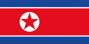
Country - North_Korea
 |
 |
| Flag of North Korea | |
In 1910, Korea was annexed by the Empire of Japan. In 1945, after the Japanese surrender at the end of World War II, Korea was divided into two zones along the 38th parallel, with the north occupied by the Soviet Union and the south occupied by the United States. Negotiations on reunification failed, and in 1948, separate governments were formed: the socialist and Soviet-aligned Democratic People's Republic of Korea in the north, and the capitalist, Western-aligned Republic of Korea in the south. The Korean War began in 1950, with an invasion by North Korea, and lasted until 1953. The Korean Armistice Agreement brought about a ceasefire and established a demilitarized zone (DMZ), but no formal peace treaty has ever been signed.
Currency / Language
| ISO | Currency | Symbol | Significant figures |
|---|---|---|---|
| KPW | North Korean won | â‚© | 2 |
| ISO | Language |
|---|---|
| KO | Korean language |